From the esteemed faculty members of CoE, LBSNAA.
Simple learning managment system to learn and self evaluate
Earn certificates for certain courses
One stop place for visualize all our publications

GIS, or Geographic Information System, is a powerful tool that blends geography, data, and technology. It’s like giving your maps a brain — one that can analyze, compare, predict, and guide real-world decisions. Whether it’s city planning, disaster response, wildlife conservation, or simply finding the best route home, GIS is the silent engine powering smart solutions behind the scenes.
This E-Module, “Basics of GIS: Understanding the Magic of Maps”, is your beginner-friendly guide into this fascinating world. You’ll learn what GIS is, how it works, what it’s made of, and how people across professions are using it to change the world — one map at a time. So open your mind, sharpen your curiosity, and get ready to see maps in a whole new way. Because once you understand GIS, you’ll never look at a map the same again.
Upon completion of this module, learners will be able to:
Understand the Meaning and Purpose of GIS
Recognize the Components of a GIS System
Describe How GIS Works Using Layers and Data
Appreciate the Everyday Uses and Applications of GIS
Explore Beginner Tools and Platforms for GIS
Develop a Curiosity for Spatial Thinking
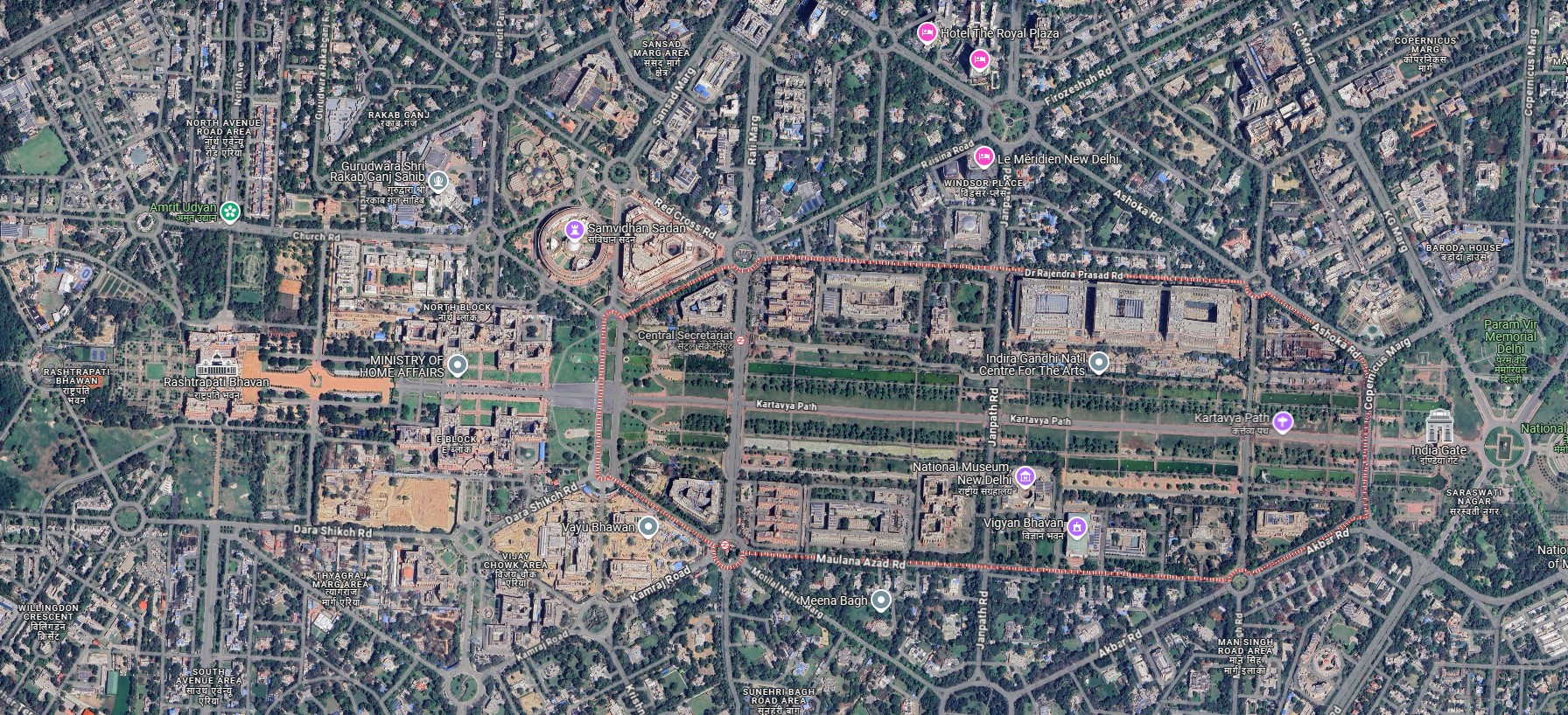
Traditional maps show where things are. GIS goes further — it shows what’s happening there and why it matters. GIS connects location with information to help people understand patterns, solve problems, and make better decisions.
It’s like turning a simple paper map into a smart tool — one that can show not just roads and rivers, but traffic, pollution, nearby hospitals, or wildlife habitats — all in one place.
GIS works like a layered sandwich — each layer holds a different type of information (roads, rivers, forests, population, etc.). When you stack these layers together, you can see how they interact. This helps answer complex questions like example:
Which villages are far from hospitals?
Does deforestation increase flood risk?
GIS is like a recipe — it needs the right ingredients to work:
Maps – the visual canvas
Data – the information behind the map
Software – tools to create and analyze layers
Hardware – GPS, computers, drones, etc.
People – curious minds who ask questions and solve problems
GIS isn’t just for maps — it’s a tool used in real life every day:
Delivery apps find the fastest routes.
Cities plan where to build schools and hospitals.
Wildlife experts track animals and protect forests.
Rescue teams map flood zones and evacuation paths.
Scientists study climate change and rainfall patterns.
Getting started with GIS is easier than you think!
Explore Google Earth - zoom, mark places, and have fun
Download QGIS - a free tool to try real GIS tasks
Practice - mark points, draw roads, and highlight areas
Notice patterns - flooding zones, traffic jams, green spaces
Learn online - find free tutorials and beginner courses
GIS isn’t just about making maps — it’s about understanding the world in smarter ways.
Maps tell you where
GIS tells you why, how, and what if