 भारत सरकार | Government of India
भारत सरकार | Government of India
भारत सरकार | Government of India
From the esteemed faculty members of CoE, LBSNAA.
Simple learning managment system to learn and self evaluate
Earn certificates for certain courses
One stop place for visualize all our publications
This e-module is designed to assist both patwaris (land revenue officials) in understanding land surveying, digitizing paper maps, and geo-referencing using QGIS (Quantum Geographic Information System). By the end of this module, learners will be able to effectively manage and digitize land records, ensuring accessible land information.
Upon completion of this module, learners will be able to:
Comprehend the fundamentals of land surveying.
Learning about the SOI's CORS Network.
Understanding step by step methodologies for land survey.
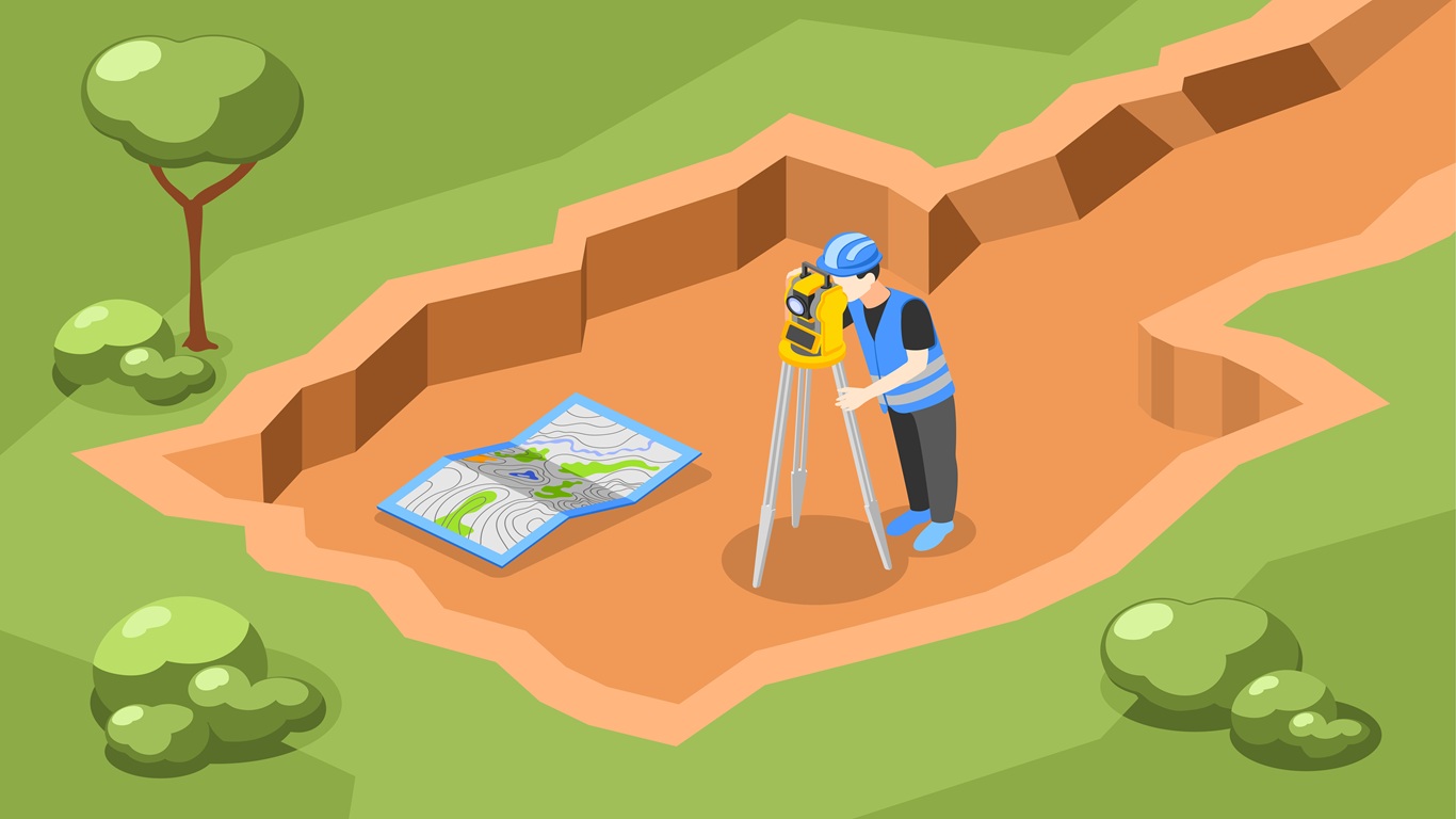
Land surveying is the process of measuring and mapping land to establish boundaries and create accurate land records. It helps determine land ownership, resolve disputes, and guide land development.
Boundary Measurement: Identifying and marking the boundaries of land parcels.
Triangulation: A method of locating points by forming triangles with known points.
Topographic Maps: Geo-reference digitized maps using QGIS.
Total Station: Accurately measures distances and angles.
Theodolite: Measures horizontal and vertical angles.
GPS: Provides precise location coordinates.
Survey of India's CORS service which helps to generate high accuracy and precise points using rovers and NRTK system.
Real Time Positioning Services
Reference Data Services
An overview of the field survey salient instructions and a simple step by step description of the methodologies used for field surveying using an urban city survey scenario case studies.
Key Steps in a Land Parcel Survey
Understanding GNSS Receivers (GNSS Rovers)
Real-Time Kinematic (RTK) GPS – High-Precision Positioning
Electronic Total Station (ETS) with GNSS – Advanced Surveying Technology
Field Data Collector (FDC) with WebGIS for Field Survey
Distance-Distance Measurement using a Laser Range Finder
Reference Stations – Correcting GPS/GNSS Errors
Surveying Properties in a City – Simplified Steps
Field Survey: Salient Instructions
Field Survey Methodologies